V.
VIGHNESH KUMBHAR01 / 01

SaaS Drone Geomapping

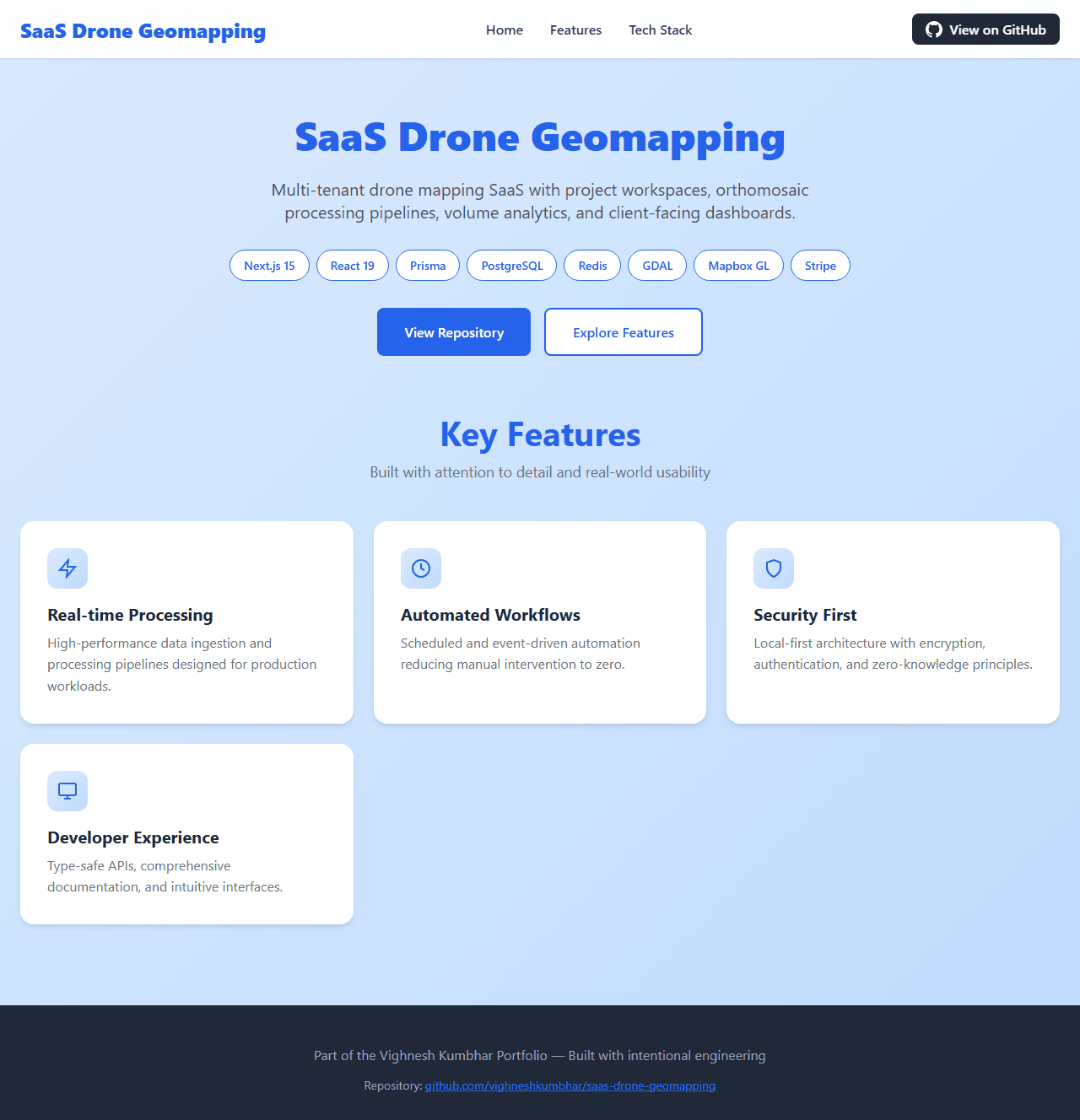
Multi-tenant drone mapping SaaS with project workspaces, orthomosaic processing pipelines, volume analytics, and client-facing dashboards.

Experimental build

SaaS Drone Geomapping source screenshot
DRONE_S
GEO / SAASCASE / 25
VERIFIED SOURCE MATERIALNext.js 15 / React 19 / TypeScript

The premise.

A SaaS platform for drone service providers: customers upload imagery, backend processes orthomosaics/DSMs via cloud workers, results delivered through interactive maps with measurement tools. Includes billing, team management, and white-label options.

Drone service providers need scalable processing and client delivery — but building orthomosaic pipelines, measurement tools, and multi-tenancy from scratch is months of work.

How it is structured.

The repository evidence points to these observable boundaries and technologies:

  • Next.js 15 multi-tenant frontend
  • PostgreSQL + Prisma for org/projects/data
  • Cloud worker queue (BullMQ/Redis) for processing
  • GDAL/PDAL for orthomosaic generation
  • Mapbox GL JS / MapLibre for visualization
  • Stripe for billing subscriptions

From idea to system.

  • Org/workspace/project hierarchy with RBAC
  • Imagery upload → processing queue → results
  • Orthomosaic/DSM generation via GDAL pipelines
  • Interactive map with area/volume measurement
  • Client portal with branded deliverables
  • Subscription billing with usage metering
Next.js 15React 19TypeScriptPrismaPostgreSQLRedisBullMQGDALPDALMapbox GLStripeTailwind CSS

The difficult parts.

  • GDAL/PDAL in cloud containers (size, licensing)
  • Large file upload/resumable processing
  • Multi-tenant data isolation with Prisma
  • Map rendering performance for 100MP+ orthos

What can be said honestly.

  • Multi-tenant auth and data isolation working
  • Processing queue with status tracking
  • Map visualization with measurement tools
  • Stripe subscription flow integrated

Geospatial SaaS is heavy on infrastructure. Consider managed processing (AWS/GCP) over self-hosted GDAL. MapLibre + PMTiles scales better than raw GeoTIFF.